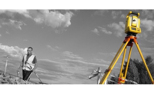
We perform all geodetic work:
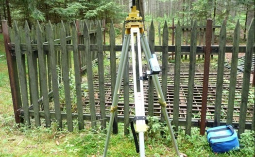
- land surveying
- geometric plans such as the division of land, change of boundaries, etc.
- we provide technical assistance in changing the registration of ownership and other rights in the Land Register
- We provide staking work on construction sites
- we set out and measure land and borders, including the preparation of documentation
- geodetic surveying and elaboration of documentation of the current state of construction
- we identify the parcels
- we perform geodesy in civil engineering (so-called engineering)
- we make various maps and maps
- we create siding plans
- we focus crane tracks
- we set out building objects
- we will focus on constructions (buildings), aboveground and underground engineering networks.
Surveying activity on the railway.
Computer graphics.
- we prepare maps and plans
- digital maps
Cartographic and topographic work.
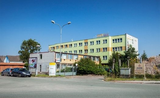
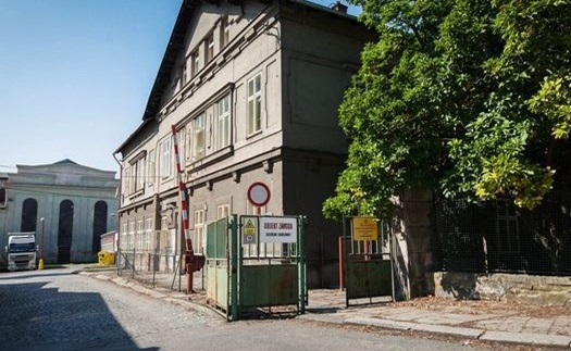
Branch:
Jaromer, Prumyslova 94,
tel .: 491810238; 604250645
jaromer@gon.cz
PICTURES
Geodetické práce Hradec Králové, Jaroměř
Geodézie Hradec Králové, Jaroměř
Zpracování geometrické plánu Hradec Králové, Jaroměř
Vytyčování, vytyčení hranic pozemku Hradec Králové, Jaroměř